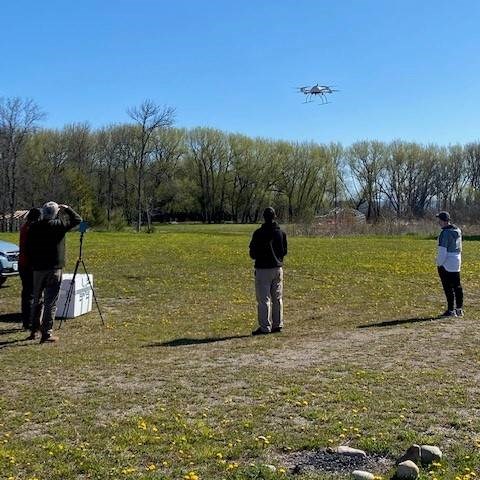
Wiikwemkoong Unceded Territory is using grant money to buy drones to map the land and manage forest inventory in the region.
The First Nation’s Lands and Natural Resources Department is incorporating light detecting and ranging, called LiDAR (LIE-DAR just like radar) technology and drones to manage forestry mapping, as part of its business plan, explains department director John Manitowabi.
Manitowabi says the $155,000 in funding for the new equipment was provided through Natural Resources Canada’s Indigenous Forestry Initiative.
He adds it will also be used to identify economic opportunities, such as bidding on procurement contracts enabling the program to remain competitive in the forest resource inventory sector while providing detailed and accurate data allowing clients to manage annual harvests and future silvicultural applications.
Wiikwemkoong’s forest resource inventory program is a revenue-generating enterprise serving clients including the Ontario Ministry of Natural Resources and Forestry.


